How can we build city route planners that 'automatically' compute route plans based not on efficiency, but on people's trailing city experiences?
Imagine you are visiting Amsterdam, The Netherlands for the first time. You're with a group of friends, and after dropping your stuff at your hotel, you find yourselves near Amsterdam Central Station. You heard that Museumplein is an area to check out while in Amsterdam, and decide to walk there.
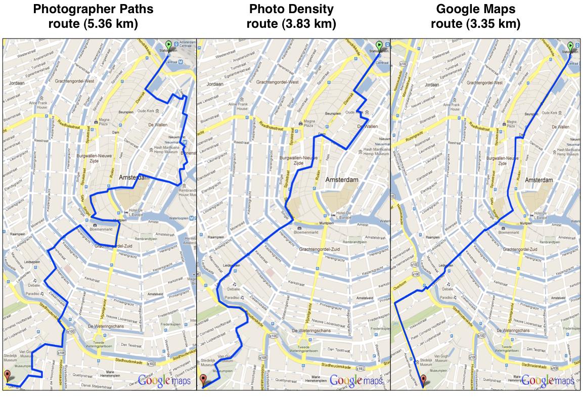
While you and your friends all carry expert tour guides (e.g., Lonely Planet guide books) and have access to route planners (e.g., Google Maps), you're not in a hurry to take the shortest route there. Nor can any of you be bothered to read on expert highlights and reviews of places along the way to Museumplein. You just want an 'interesting', 'scenic' route that takes you there. One that locals and other travelers may possibly recommend.
"We're not always in a hurry to get from point A to B."
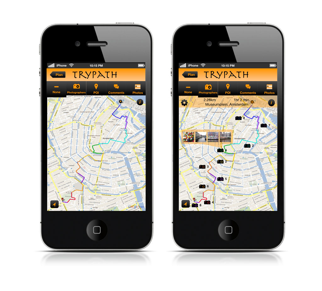
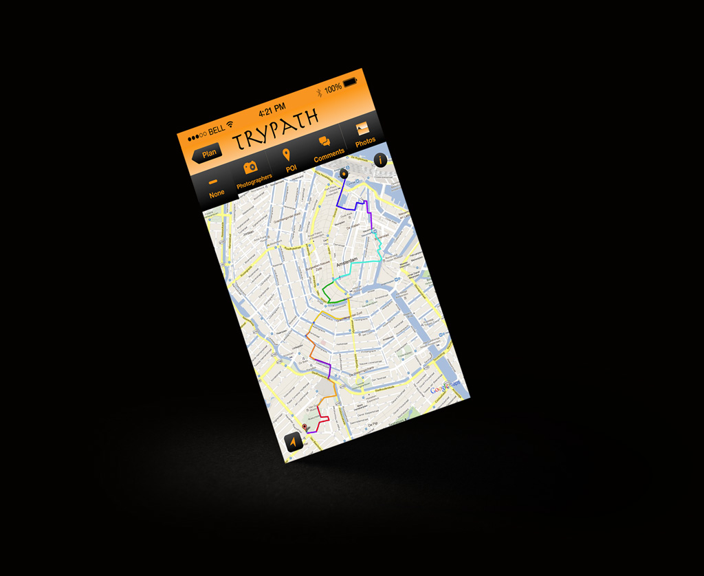
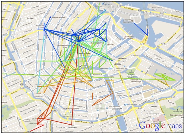
We used photographer footprints from a 5-year Flickr dataset and sequence alignment methods to derive interesting routes in Amsterdam.
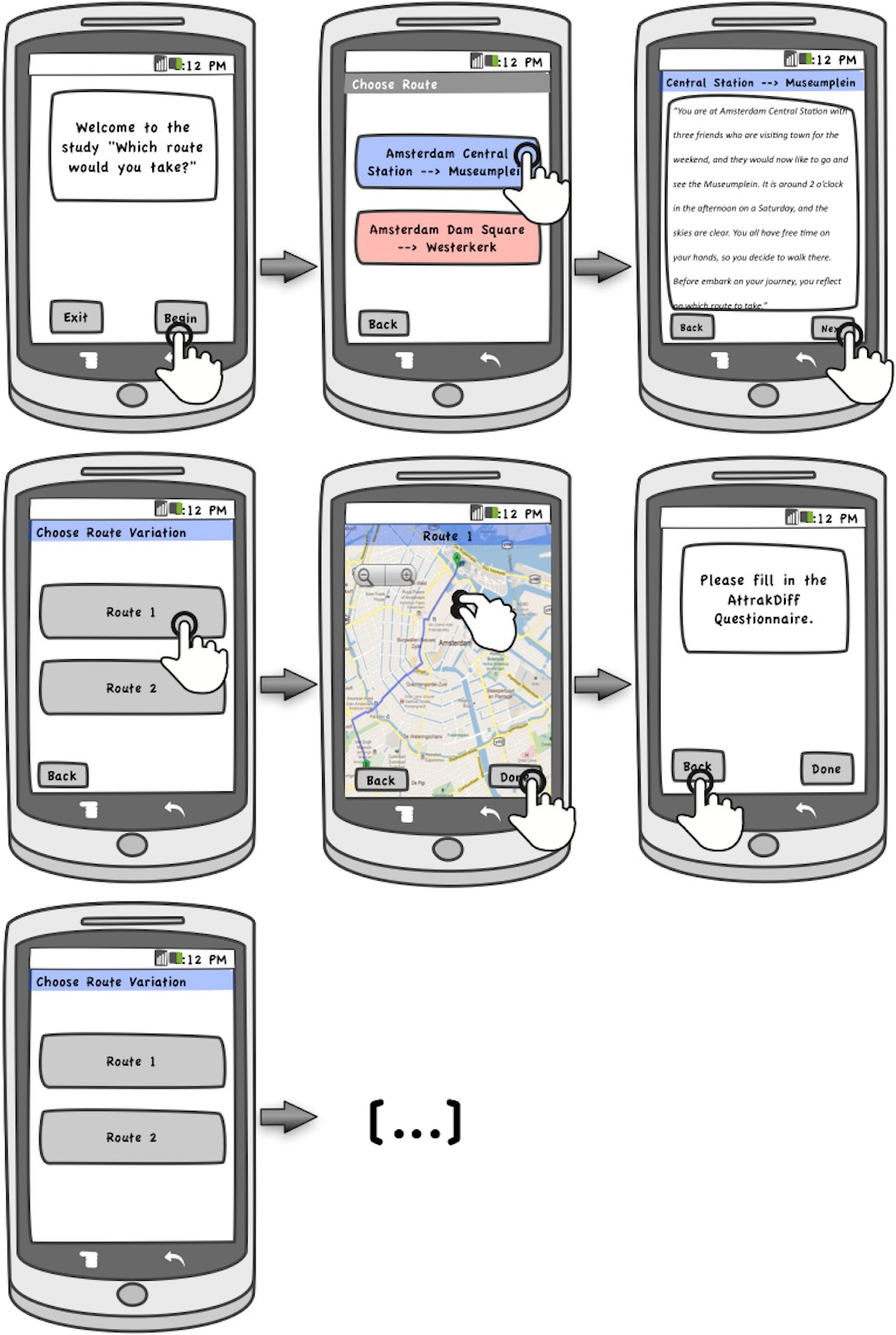
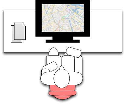
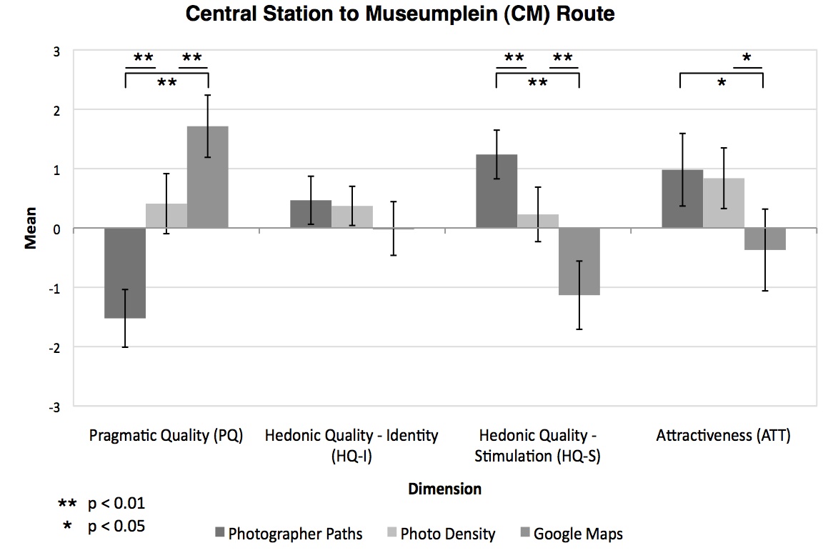
Ran a controlled usability and online survey study
Our results showed...
Drawing on questionnaires, web surveys, and user interviews with Amsterdam residents, our results showed that our photographer paths were more appealing to users than the commonly popular and shortest routes.
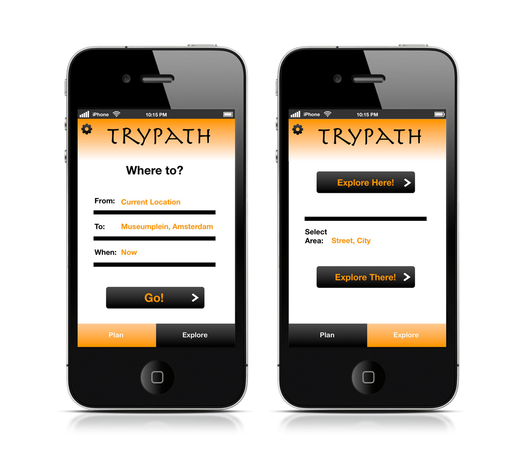
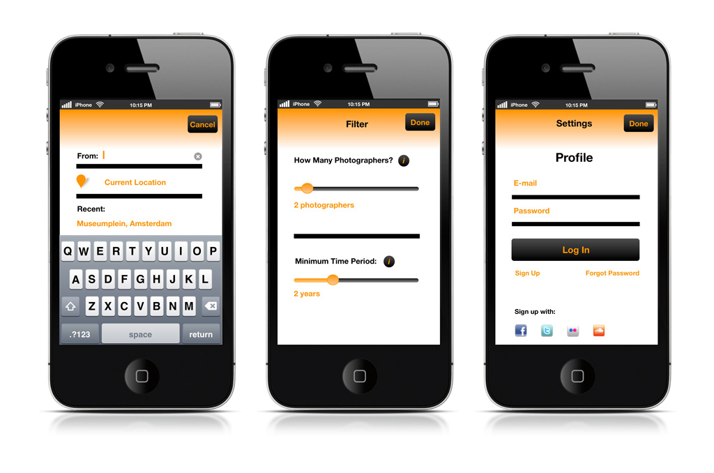
How would our route planner system based on Flickr photos and aligned photographer sequences actually look like?
Imagining the interface.
Trypath was born.